

Geology and Formation of the Grand Canyon Rapids
Grand Canyon Rapids and the Geology Behind Them
How were the rapids of the Grand Canyon formed, and what geological processes contribute to their existence?
The rapids encountered while
rafting the Grand Canyon are primarily formed at the mouths of side canyons. When these side canyons experience large floods, they carry debris—such as rocks, boulders, and sediment—into the main channel of the Colorado River. This debris forms a natural obstruction, often referred to as a “low-head dam.” The combination of the river’s flow dropping over this debris and the presence of the rocks within the channel creates the turbulence and waves that we recognize as rapids.
Why are some rapids in the Grand Canyon more intense than others?
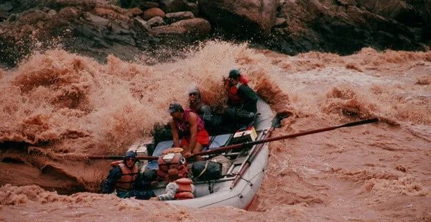
Most rapids in the Grand Canyon are classified as Class III, with some reaching Class IV at certain river flow levels. The intensity of a rapid depends on several key factors:
Large Wave in Crystal Rapid
- Gradient – The steepness of the river channel through the rapid influences the speed and power of the water. A steeper gradient results in faster-moving water and more turbulence.
- Rocks in the Channel – Boulders, debris, and other obstacles in the river channel disrupt the water flow, creating waves, holes, and eddies that increase the rapid’s difficulty.
- River Constriction – When the river narrows, the same volume of water is forced through a smaller space, increasing the speed and turbulence, which makes the rapid more intense.
These factors combine in different ways at each rapid, which is why their intensity can vary significantly across the Grand Canyon.
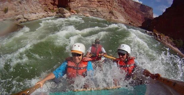
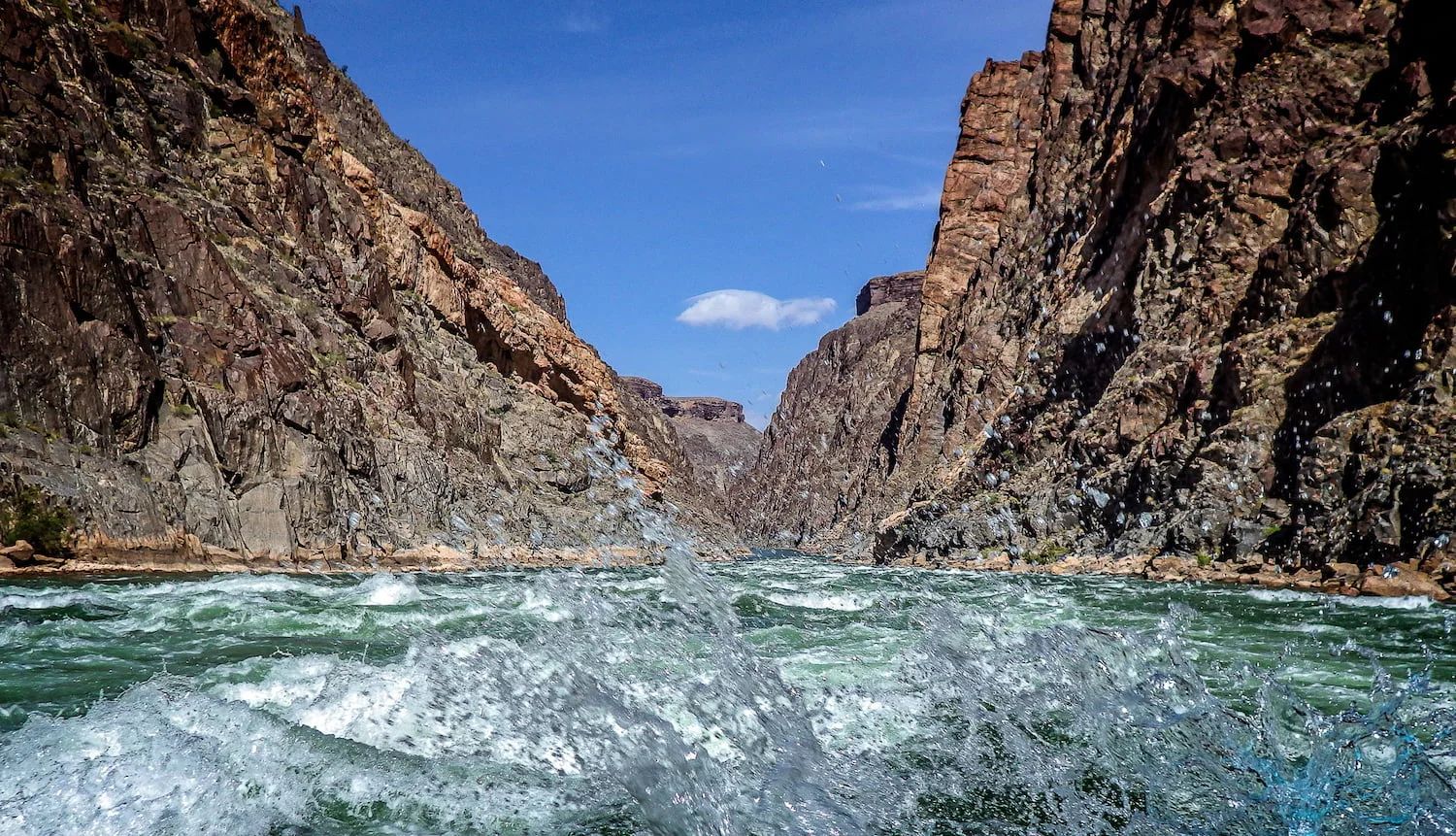
Excitement in the Grand Canyon
How does the flow of the Colorado River affect the rapids over time? Are they changing or evolving?
The flow of the Colorado River, and consequently the nature of its rapids, is heavily influenced by Glen Canyon Dam, which regulates the river’s flow. Before the dam was constructed, the river experienced large spring floods, which naturally flushed debris downstream after flash floods from side canyons. These powerful seasonal flows helped to reshape and maintain the rapids, preventing the buildup of debris over time.
Since the completion of Glen Canyon Dam, however, the natural flooding cycle has been replaced by controlled releases, which lack the magnitude of pre-dam floods. As a result, when side canyons flash flood and deposit debris into the river, it becomes harder for the regulated flows to wash that debris downstream. This has led to a gradual buildup of material in certain rapids, making them progressively harder to navigate, especially at low flows.
At low flows, rocks and debris that remain exposed can increase the technical difficulty of rapids. This is particularly challenging for larger motorized rafts, which require more precision to maneuver around obstacles at reduced water levels. In contrast, higher controlled flows can smooth out some rapids but may not have the power to fully remove accumulated debris.
In summary, the flow of the Colorado River—once governed by natural cycles—is now tightly regulated, which has changed the way rapids evolve. While the dam’s operation provides benefits like flood control and hydroelectric power, it has also contributed to a dynamic where some rapids in the Grand Canyon are becoming more difficult to navigate over time.
What role do debris flows from tributaries, such as flash floods, play in shaping the rapids?
Flash floods play a significant role in shaping and altering the rapids of the Grand Canyon. Each time a flash flood occurs, debris such as rocks, sediment, and boulders is washed from tributaries into the Colorado River. This debris often settles at the mouths of side canyons, altering the structure and flow of the river at that location, which directly impacts the characteristics of the rapid.
The extent of these changes varies—some flash floods result in dramatic transformations to a rapid, while others cause only minor adjustments. Over time, this process of debris deposition and rearrangement continuously shapes the rapids, making them dynamic and ever-changing features of the river.
Are there specific rock types or geological features in the Grand Canyon that influence the rapids’ locations and characteristics?
Rapids are found all along the Colorado River in the Grand Canyon, cutting through a wide variety of rock types. However, the largest and most powerful rapids are generally located in the Inner Gorge of the canyon. The Inner Gorge is made up of hard, erosion-resistant metamorphic and igneous rock, such as Vishnu Schist and Zoroaster Granite. These rock types are much harder and more durable than the sandstones and limestones found in other areas of the canyon. As a result, the river’s gradient tends to steepen in these sections, contributing to the formation of larger, more intense rapids.
That said, not all major rapids are located within the Inner Gorge. For example, Lava Falls, one of the most famous and challenging rapids in the Grand Canyon, is situated at the mouth of Prospect Canyon. Here, a tall debris fan from flash floods has created a dramatic obstruction in the river, producing the rapid’s iconic intensity, even though it is not within the hard rock formations of the Inner Gorge.
This combination of geological features and debris deposition highlights the diverse factors that influence the location and characteristics of the Grand Canyon’s rapids.
If you are ready to raft the Colorado River through the Grand Canyon give
Colorado River & Trail Expeditions a call at 1-800-253-7328.
More About the Geology and Formation of the Grand Canyon Rapids


