Anatomy of the Grand Canyon

Anatomy of the Grand Canyon by W. Kenneth Hamblin


This book can be purchased at the CRATE BOOKSTORE for


$300.00 – RARE & OUT OF PRINT

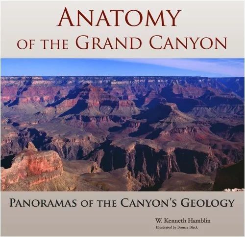
If you have been looking for an informative geology book with a lot of big colorful photos, then this is the book you want. The book takes panorama size photos of different locations within the Grand Canyon, and in small text labels the rock layers and names of different features. With each photo a couple of paragraphs help in explaining what is happening in the photo. The book includes both photos from the Colorado River and from the rims looking down. This is a great book for someone who is going to the Grand Canyon for the first time, as well as a river guide who has been down the river over 100 times. This is a must have book for anyone interested in Geology, rafting the Grand Canyon, hiking the Grand Canyon or exploring the points on the rims.

More About the Anatomy of the Grand Canyon

Sandy beach inside a cavern overlooks a river, with red rock canyon walls and a blue sky.
February 15, 2026
The Colorado River below Glen Canyon Dam flows through the lower reaches of Glen Canyon on its way to Lees Ferry , forming one of the most studied and discussed stretches of river in the American Southwest. Released from the base of the dam, the water is typically clear and tightly controlled. In recent years, however, lower water levels in Lake Powell have caused releases to come from shallower depths, warming the river compared to past decades and changing the conditions downstream. This reach is calm and approachable, making it a popular destination for kayaking, rafting, fishing, and flatwater exploration. Visitors often take time to linger along the banks, explore side canyons, and pull over at small beaches and alcoves—experiencing the river at an unhurried pace that encourages observation and learning.  Quick facts about this stretch of river naturally help frame why it matters:
Glen Canyon Dam with bridge and canyon walls under a blue sky. Water flows towards the dam.
February 12, 2026
The Dirty Devil River joins the Colorado River at River Mile 169.5. John Wesley Powell camped at this confluence on July 28, 1869, describing the tributary as extremely muddy and foul-smelling. Jack Sumner later named it the Dirty Devil. The Dirty Devil is formed by the confluence of Muddy Creek and the Fremont River near present-day Hanksville, Utah. The Fremont River originates at Fish Lake and flows along the Waterpocket Fold through Capitol Reef National Park. Muddy Creek drains the San Rafael Swell. Historic Context — Powell’s Expeditions: Powell’s 1869 expedition recorded the Dirty Devil as both a geographic reference and a warning. In his later expeditions of 1871–72, Powell returned with improved boats and a scientific mandate. Tributaries such as the Dirty Devil became fixed reference points for mapping and geologic observation. Powell’s journals note the heavy silt load and poor water quality here, and his party avoided using the Dirty Devil as a water source when possible.
Camping gear on a sandy beach near a red rock wall and river under a cloudy sky.
February 12, 2026
Camping and Dining