Navigating the Rapids of Desolation Canyon: A Whitewater Guide
Desolation Canyon offers over 60 Class I-III rapids that provide excitement without being overwhelming, making it an ideal destination for family rafting and first-time rafters. The rapids are spread throughout the 84-mile journey, creating a varied and engaging experience.
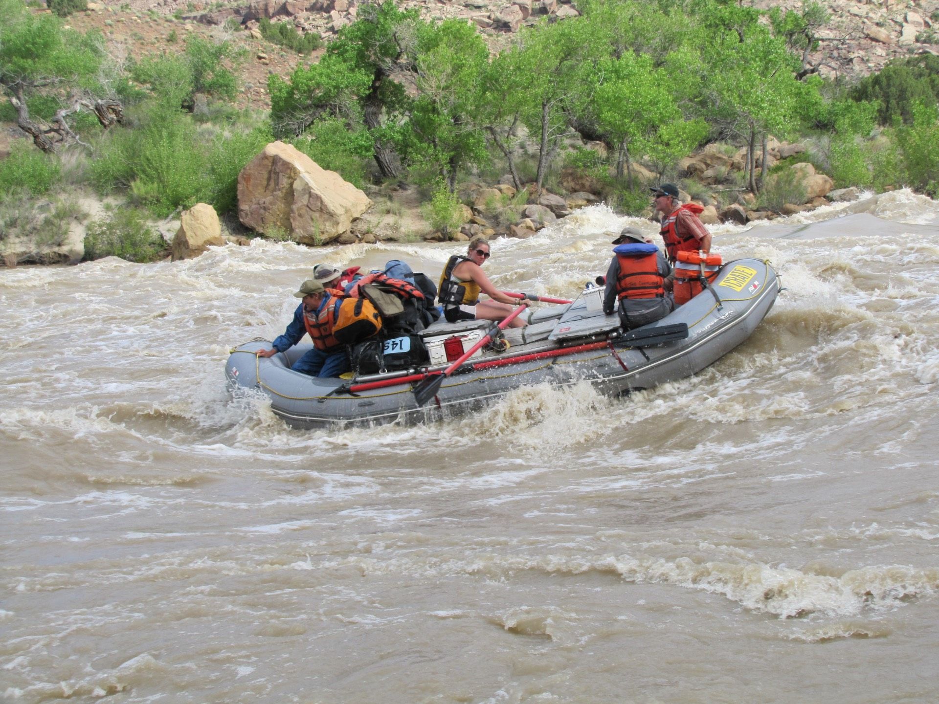
Understanding the Rapids
The rapids in Desolation Canyon are characterized by their technical nature and the need for skillful navigation. Unlike some more extreme whitewater destinations, Desolation Canyon's rapids are approachable for a wide range of experience levels. The Class I-III rating means that while there is excitement and splashing, the rapids are generally safe for families and beginners with proper guidance.
Notable Rapids
Three Fords Rapid:One of the larger rapids in Desolation Canyon, Three Fords provides a thrilling experience with significant waves and hydraulics. The rapid requires skillful navigation but is well within the capabilities of experienced guides.
Cow Swim Rapid:Named for the cattle that historically crossed the river at this location, Cow Swim offers a fun and splashy ride through a series of waves and obstacles.
Coal Creek Rapid:Located further downstream, Coal Creek provides another exciting section of whitewater with interesting technical features.
Water Flows and Seasonal Variations
The Green River's water flow varies seasonally, affecting the character of the rapids. Spring runoff (typically May and June) brings higher water levels and larger waves, creating more dramatic whitewater. Summer and fall flows are lower, making the rapids more technical as exposed rocks create additional obstacles and challenges.
Safety and Preparation
Desolation Canyon's rapids are managed by experienced guides who understand the nuances of each rapid and how water levels affect navigation. Proper safety equipment, including life jackets and helmets, is provided. Our guides conduct a thorough river orientation before departure to ensure all participants understand safety procedures and what to expect.
The Balance of Adventure
What makes Desolation Canyon special is the balance it offers between exciting whitewater and peaceful, scenic floats. The rapids provide adrenaline and excitement, while the calm sections allow time to absorb the stunning landscape, observe wildlife, and relax. This combination makes Desolation Canyon ideal for those seeking adventure without extreme technical difficulty.