
Blog & Stories
Packing Trips
News & Updates
Recipes & Books
Videos & Infographics
By Walker Mackay
•
April 24, 2026
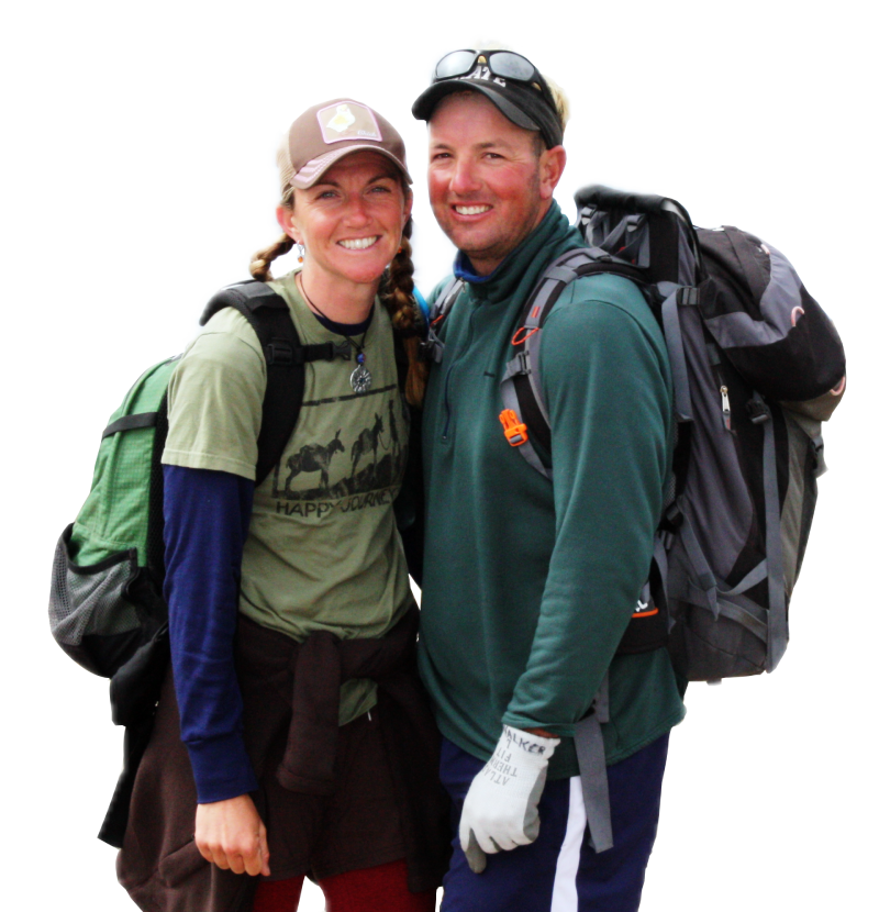
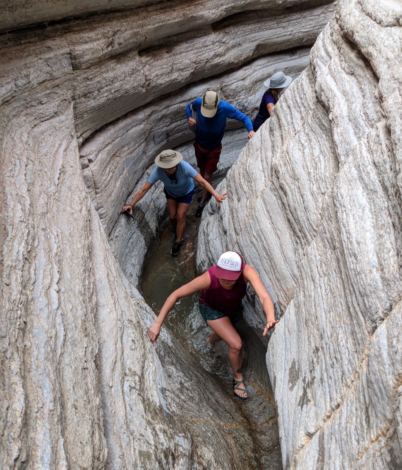
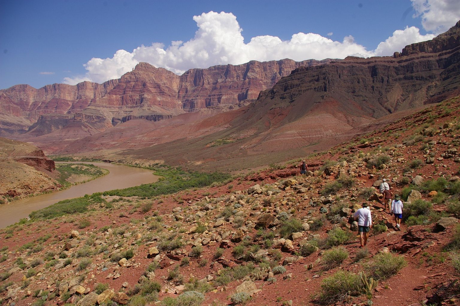
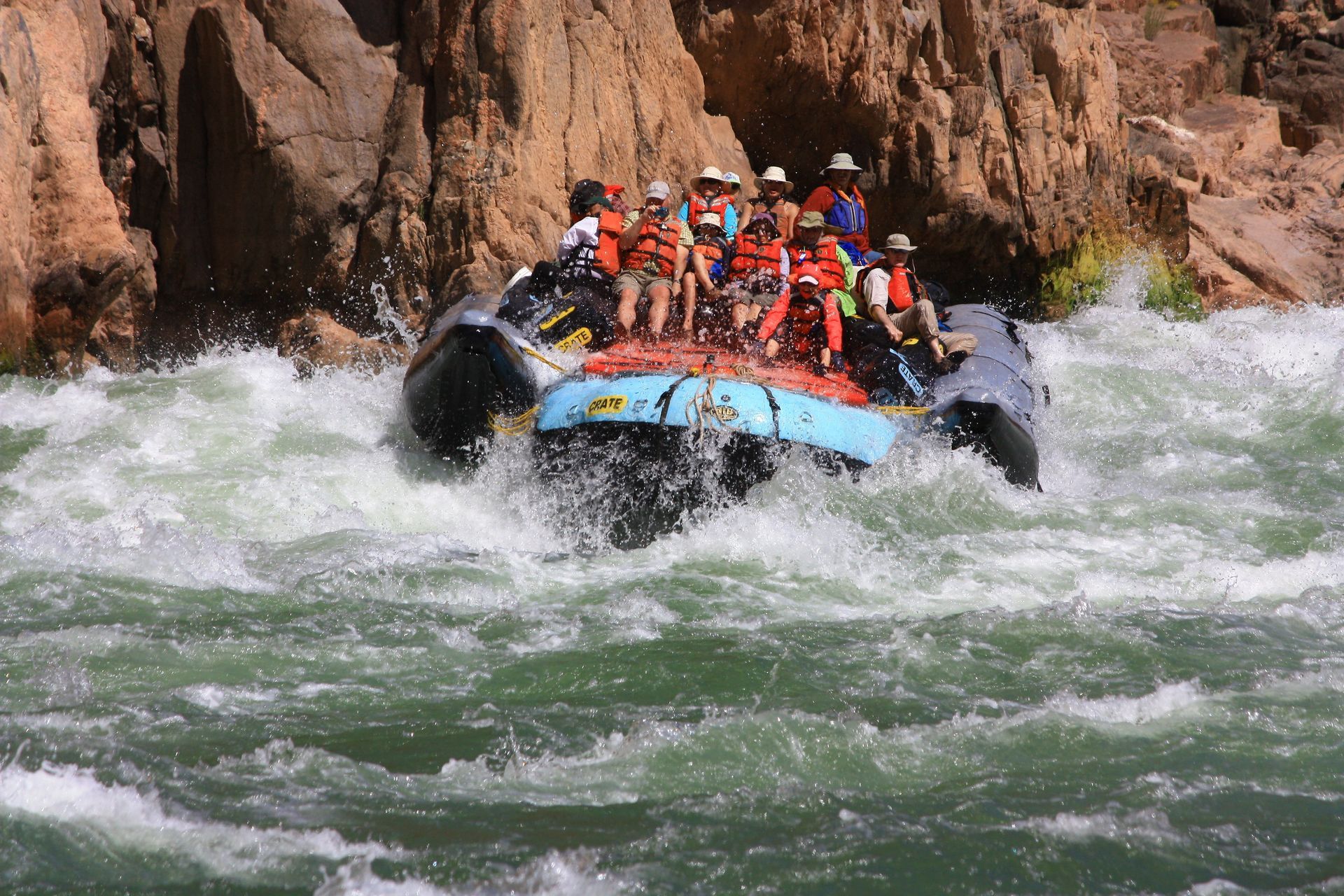
Answer the question how physically demanding is a Grand Canyon river trip.
By Walker Mackay
•
April 14, 2026
Colorado River & Trail Expeditions has photo sharing on our website. You can upload photos from your trip.
January 14, 2026
A river guide reflects on learning to ski, the beauty of snow, and how winter snowpack sustains the rivers, deserts, and landscapes she loves.
January 14, 2026
Practical packing tips for desert river trips, covering sun protection, weather gear, multi use items, batteries, and how to pack lighter for rafting adventures.
March 15, 2022
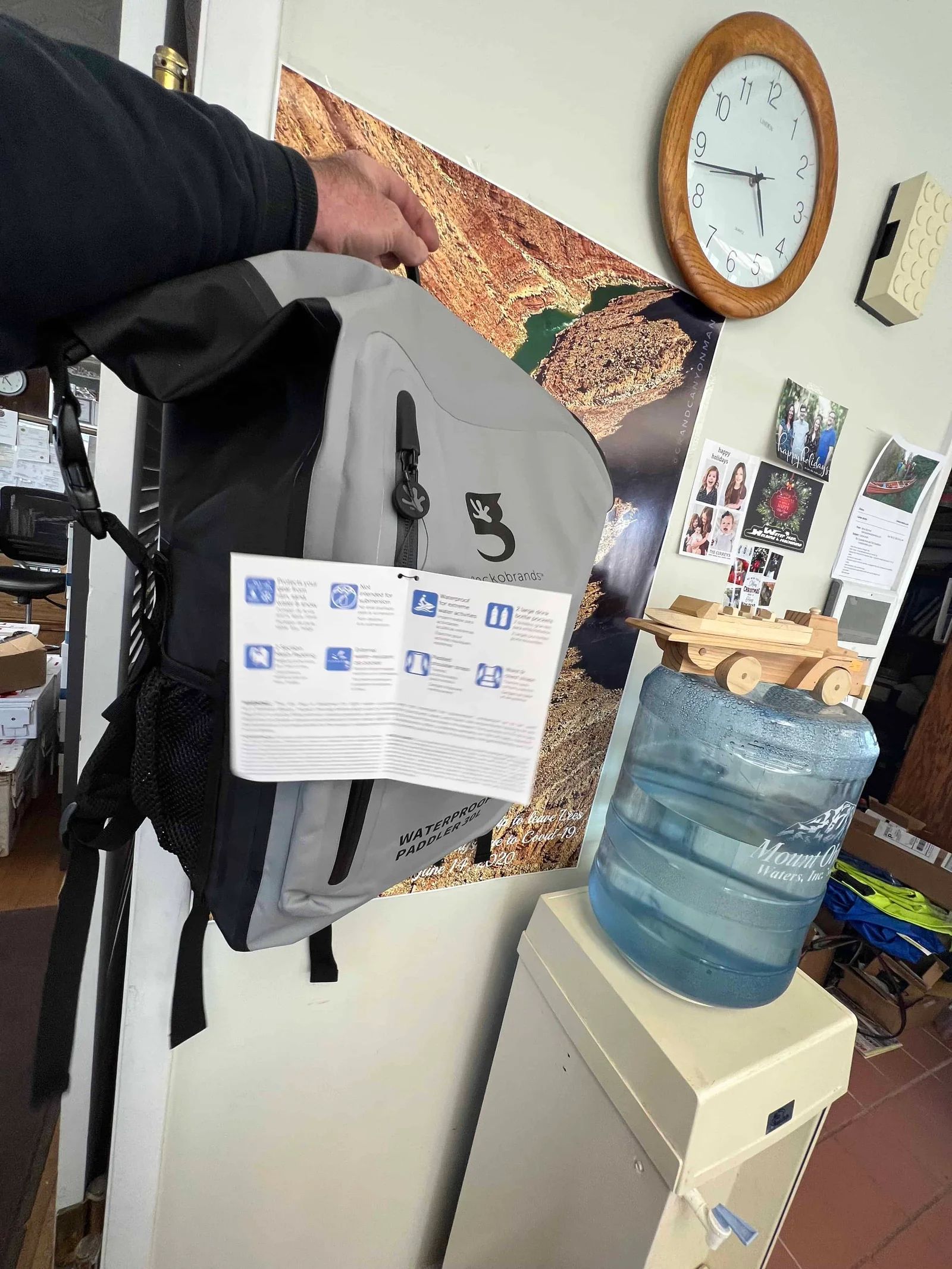
A 30L Gecko Brand waterproof backpack with padded straps, bottle pockets, and dry storage, ideal for rafting trips in Alaska or the Grand Canyon.
By Colorado River & Trail Expeditions
•
July 7, 2026
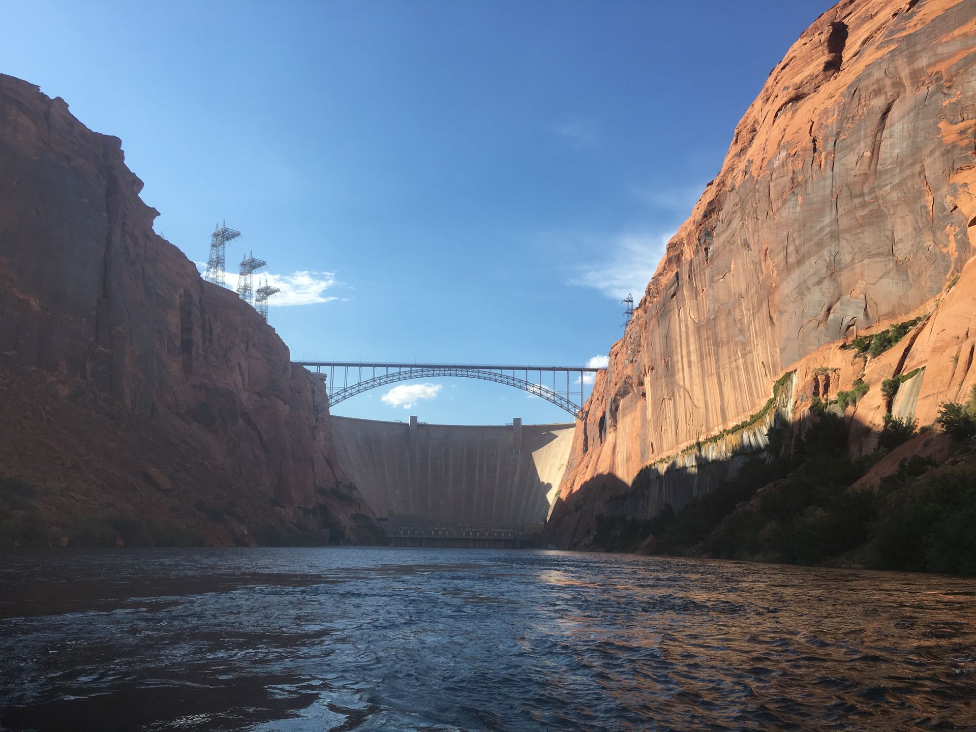
A view of Glen Canyon Dam.
By Walker Mackay
•
April 24, 2026
Answer the question how physically demanding is a Grand Canyon river trip.
By Walker Mackay
•
April 14, 2026
Colorado River & Trail Expeditions has photo sharing on our website. You can upload photos from your trip.
By Walker Mackay
•
March 23, 2026
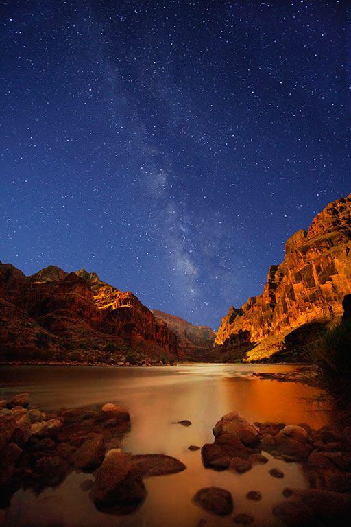
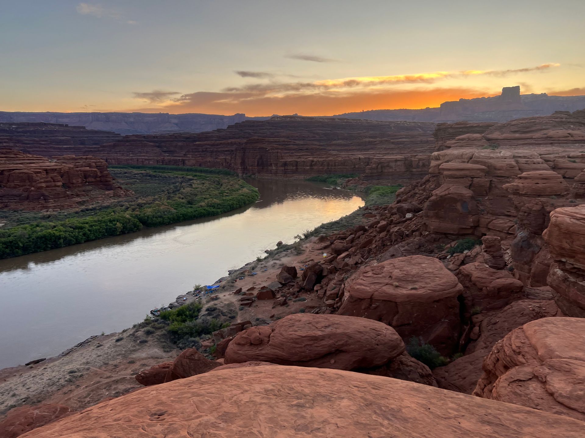
Half the Grand Canyon happens after sunset. See why the night sky—stars, silence, and space—defines the river trip experience.
By Walker Mackay
•
March 19, 2026
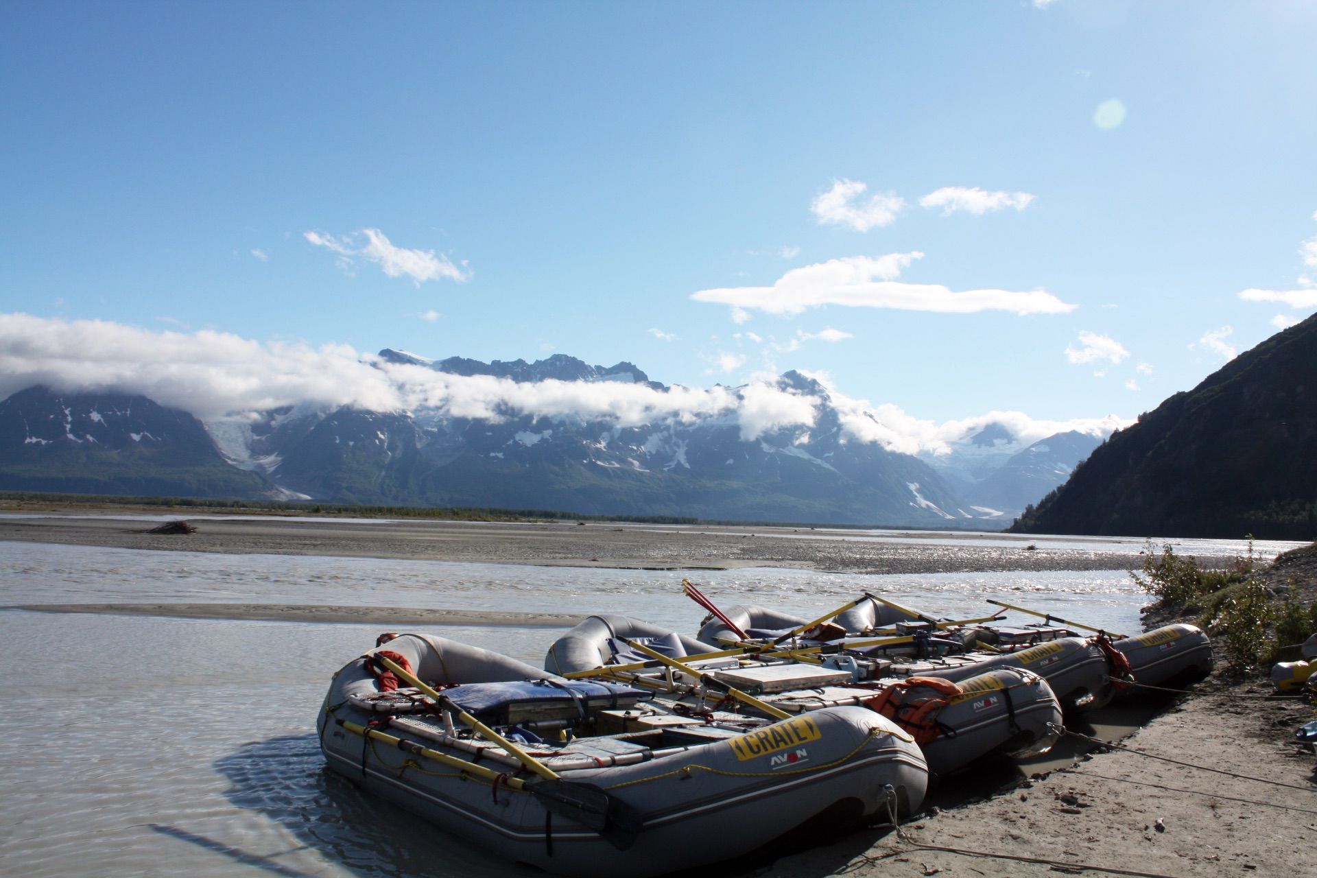
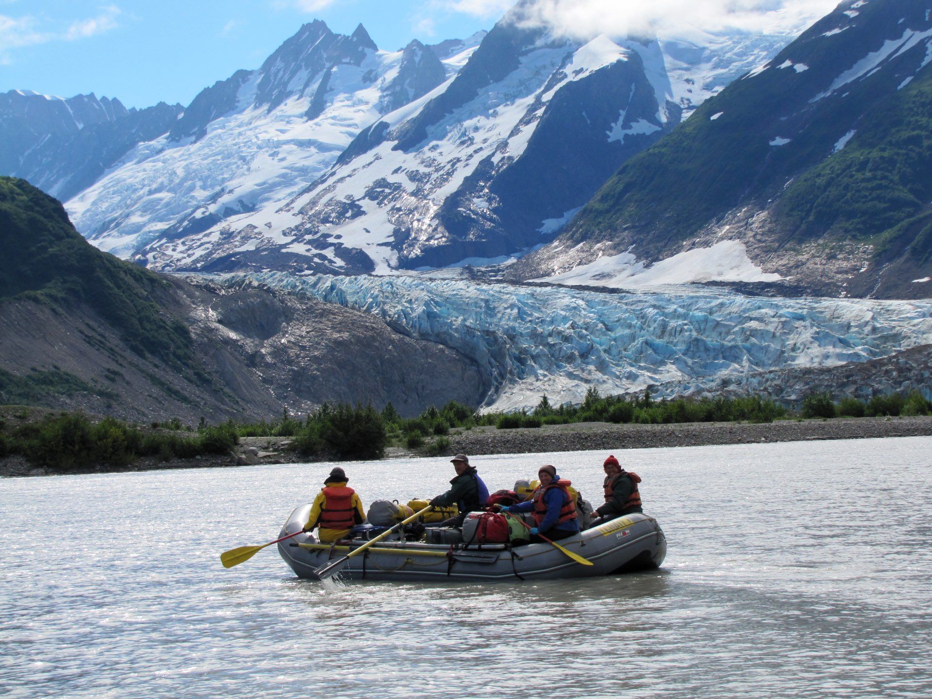
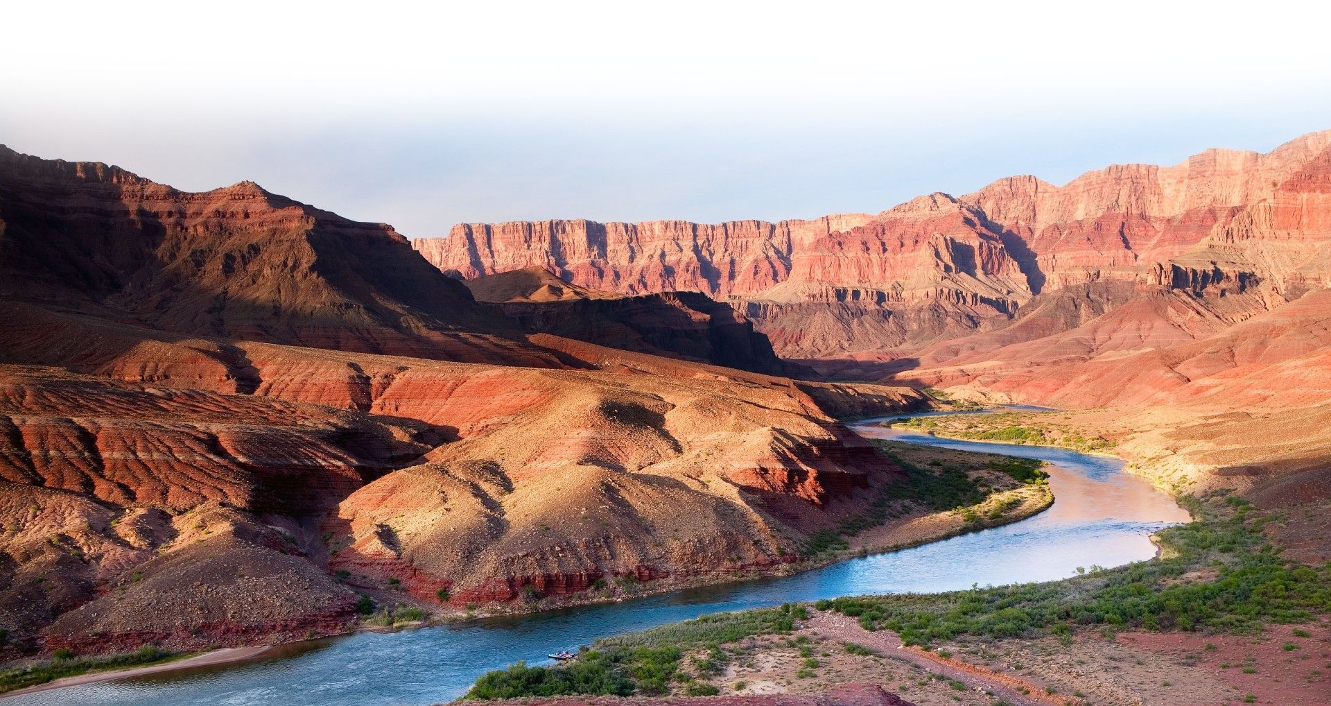
Grand Canyon vs. Tatshenshini–Alsek: two legendary river journeys shaped by desert and ice. Discover how each delivers a completely different wilderness experience.
By Walker Mackay
•
March 10, 2026
The Tatshenshini River offers one of the last true wilderness rafting expeditions on Earth—glaciers, wildlife, and untouched landscapes in Alaska and Canada.
January 16, 2026
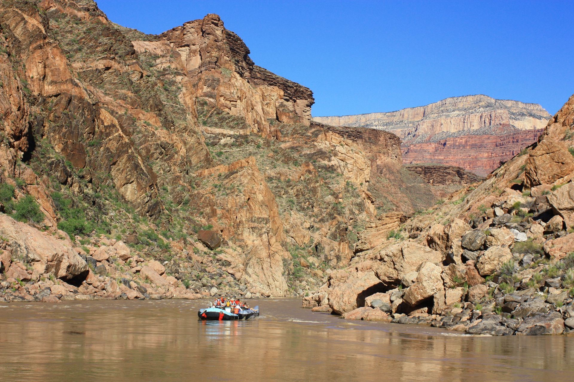
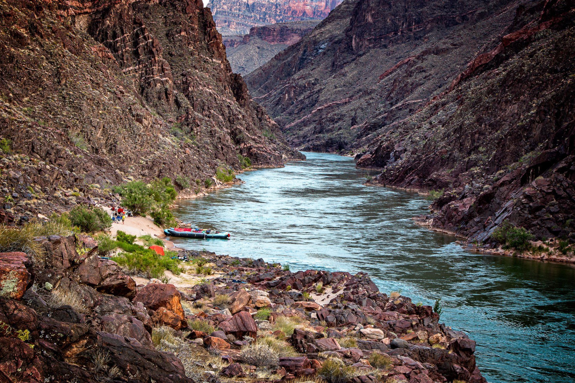
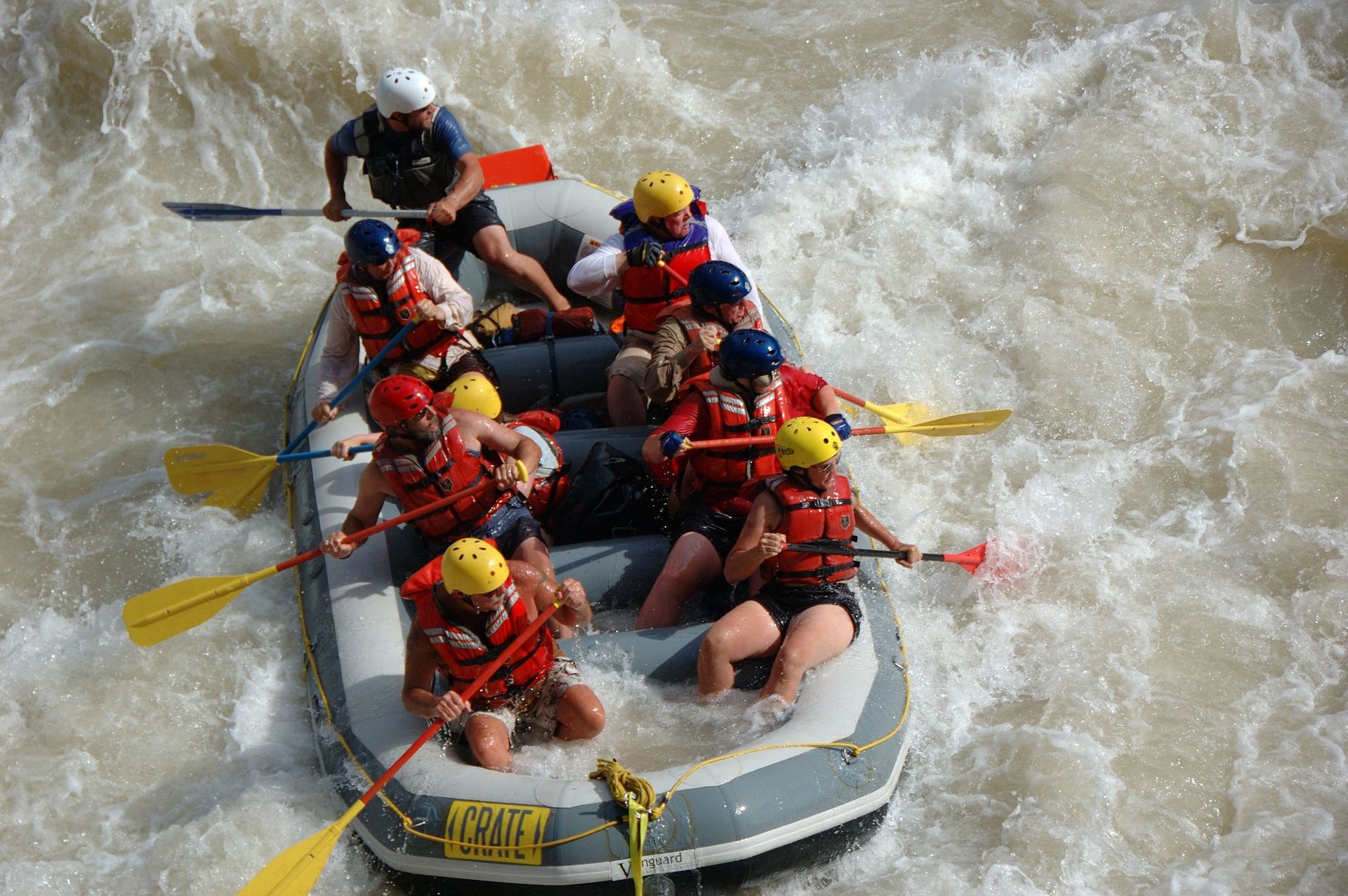
A guest’s firsthand account of a dramatic Grand Canyon rafting day below Diamond Creek, featuring flash floods, quick thinking, teamwork, and river grit.
January 14, 2026
A vivid account of a sudden Grand Canyon flash flood, monsoon rains, roaring waterfalls, red river water, and the raw power that shapes canyon rapids.
January 14, 2026
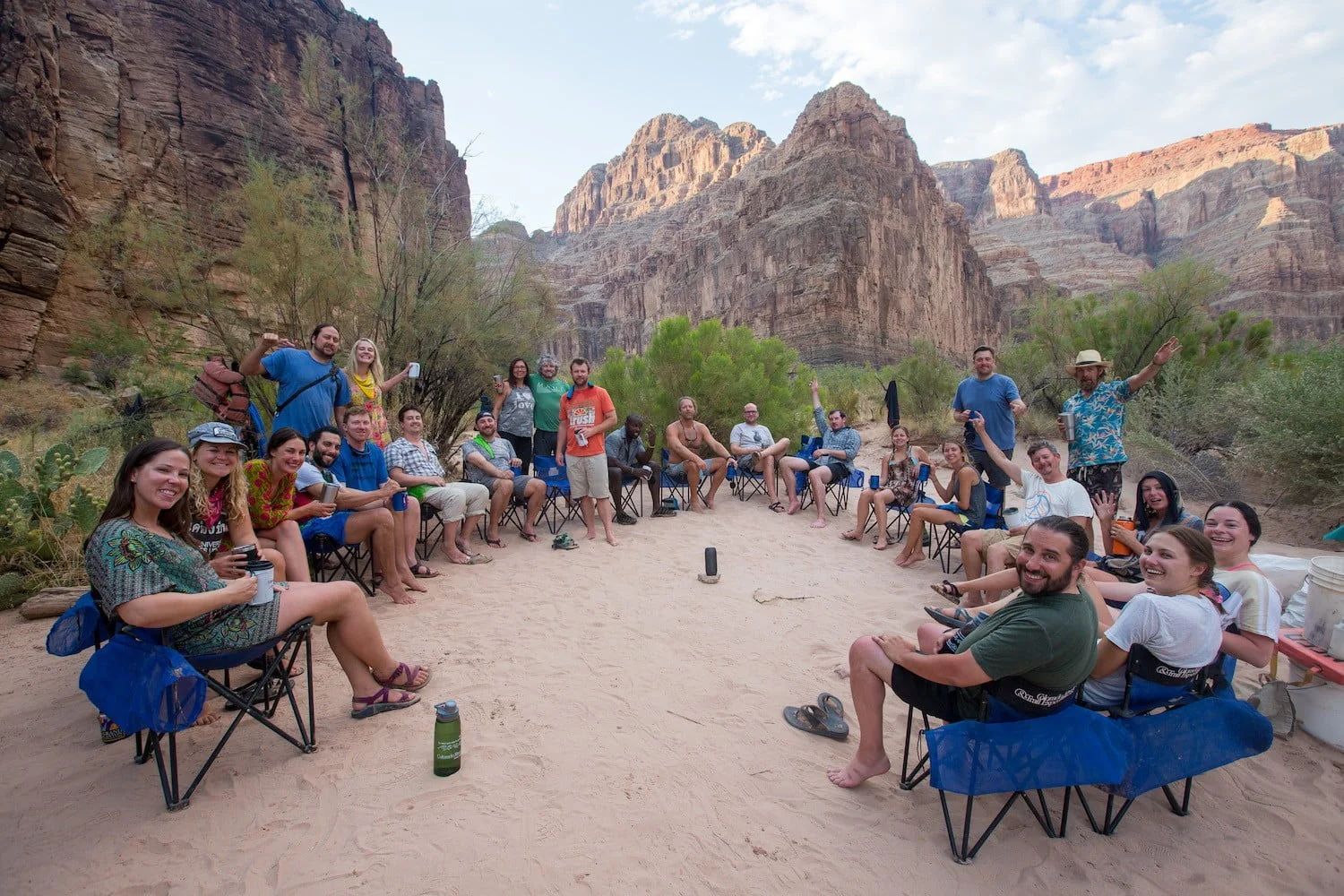
A river guide shares Thanksgiving gratitude for wild places, conservation efforts, and the CRATE family, celebrating wilderness, community, and life on the river.
January 14, 2026
I recently returned from Thailand where we spent time exploring some of the National Parks. While there are many differences between the National Parks in Thailand compared to the United States, the experience found me reflecting on the positives and the negatives of the Parks in both places. While Thailand is only three fourths the size of the state of Texas there are 127 different National Parks, compared to just 59 National Parks in the United States. The Park Service was first created in the U.S. in 1916 with Yellowstone as the first park. Thailand created its Park Service in 1961 with Khau Yai as the first park. So why the discrepancy in numbers? Size does matter. The largest National Park in the U.S. is the Wrangle St. Elias N.P. in Alaska, covering an area of over 13,000 square miles. Thailand’s biggest is Kaeng Krachan N.P. covering 1,125 square miles, close to the size of Yosemite National Park- the 16th largest park in the U.S. The parks we visited had a much different feel. Instead of visiting a swath of protected land, in Thailand we found pockets of special places protected from already busy tourists areas. In Krabi province we hiked to a lagoon. Just outside of Railey beach we found the trail that went straight up the mountain, and back down into the innards of this peninsula peak. This hike made Grand Canyon hiking seem easy! The trail was only maintained with old ropes to help navigate vertical rock sections and very slippery mud. One group we passed was tying in with ropes and harness. When we got to the lagoon we had the place to ourselves. Wading into the center of the green pool we found ourselves surrounded by a vertical forest, with verdant plant life growing out of the limestone cliffs and closing out all but a circle of sunlight above. It felt like we had stumbled into an unknown paradise. There where no placards along the way, no steps cut or built into the trail, no improvements constructed to frame our perception of this place.
January 14, 2026
A reflective essay on Cathedral in the Desert, memory, loss, and renewal in Glen Canyon, exploring drought, restoration, and the balance between people and place.
January 14, 2026
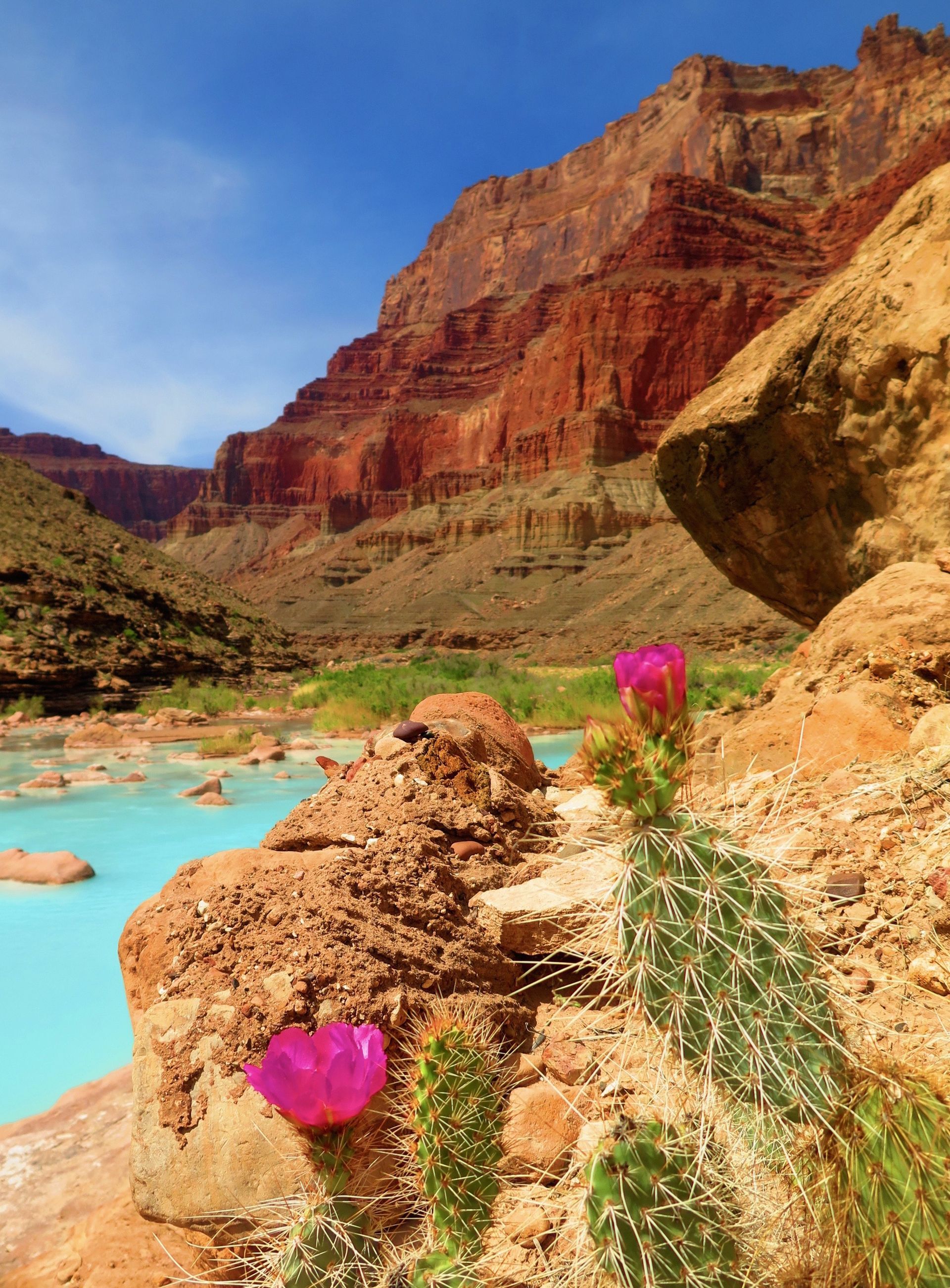
Discover the flowers of Canyon Country, from Prince’s Plume to Sacred Datura, and learn where to spot vibrant wildflowers while hiking or rafting the Grand Canyon.
January 14, 2026
A visit to the South Rim highlights Grand Canyon views, Bright Angel Trail, Kolb Studio art, and plans to restore the historic Power House building.
January 14, 2026
Why milkweed matters for monarch butterflies and how planting it helps protect their epic migration while supporting wildlife right in your own yard.
February 22, 2022
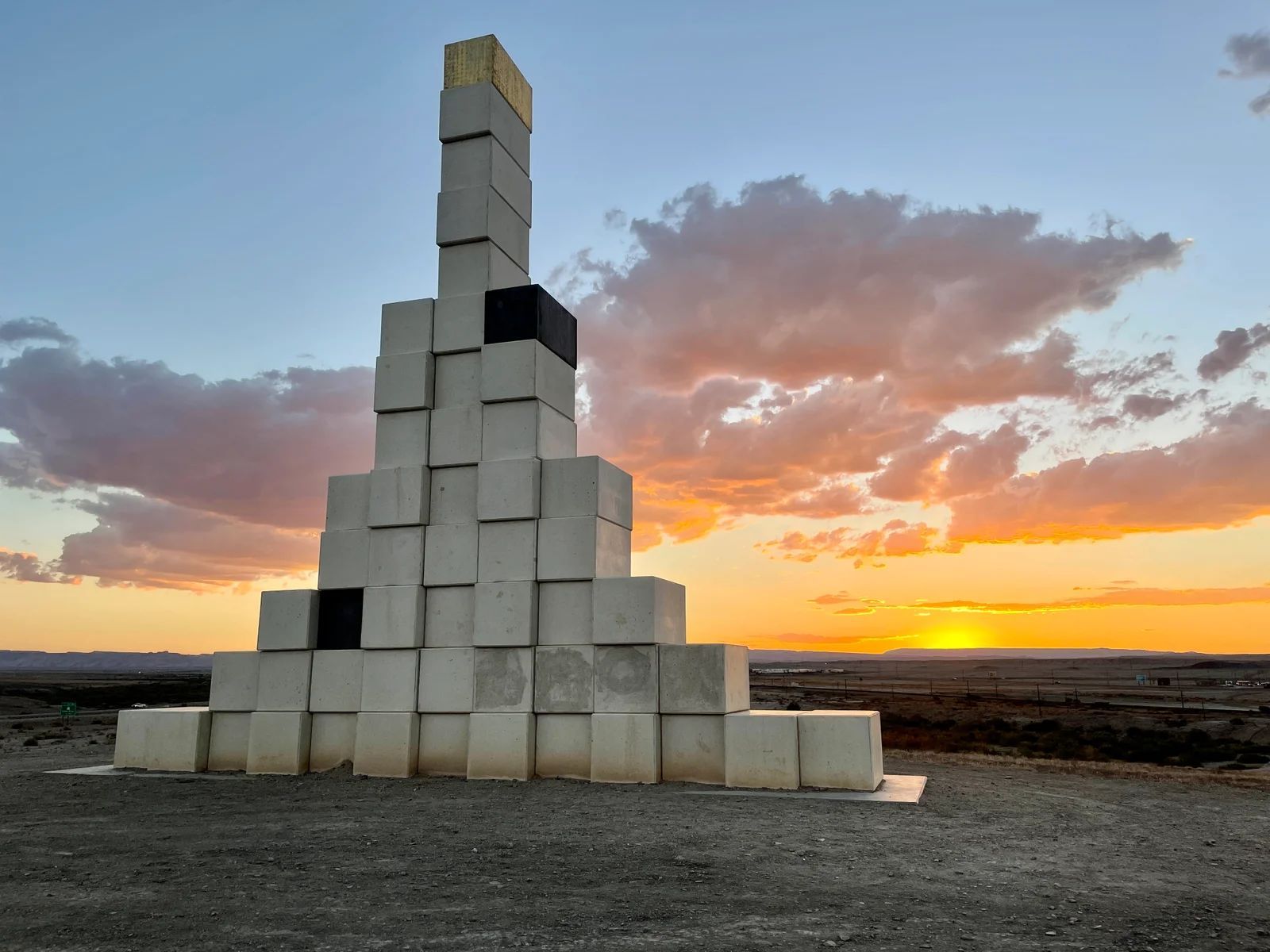
Discover Monument Hill Sculpture Park in Green River, Utah, featuring land art by Andrew Rogers and a unique blend of art, math, and desert landscape.
November 18, 2020
A fun list of 25 toys and games that spark imagination and adventure for river runners, campers, and outdoor lovers of all ages.
December 4, 2017
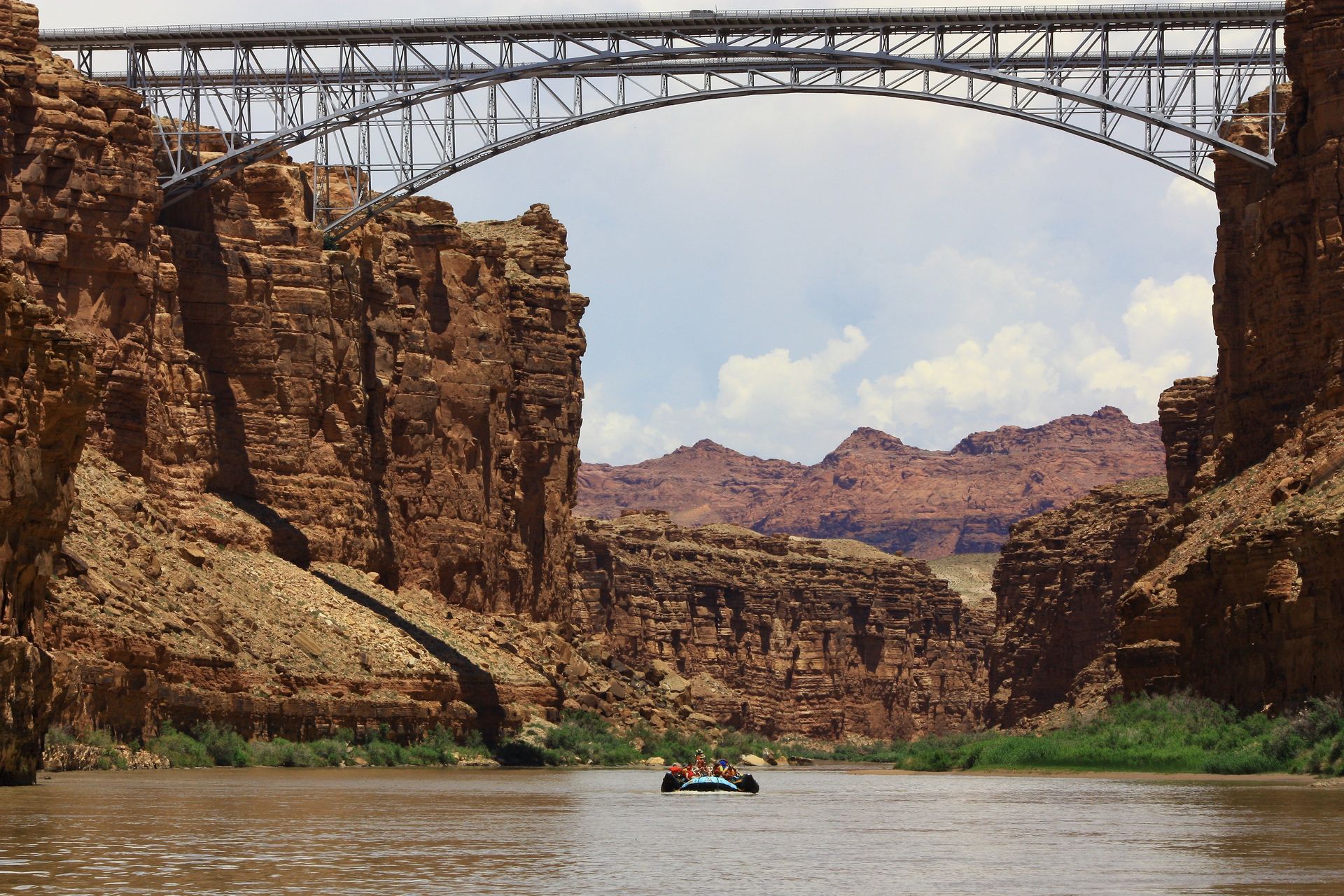
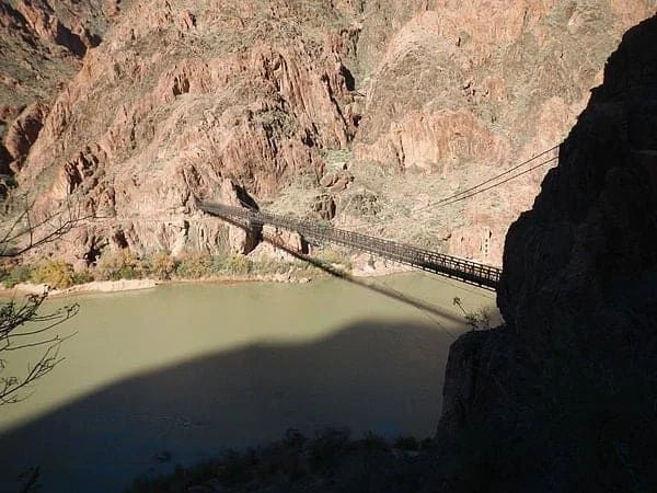
An overview of the Kaibab Suspension Bridge, its 1928 construction, role linking canyon trails, and the human stories behind this Grand Canyon landmark.
February 2, 2017
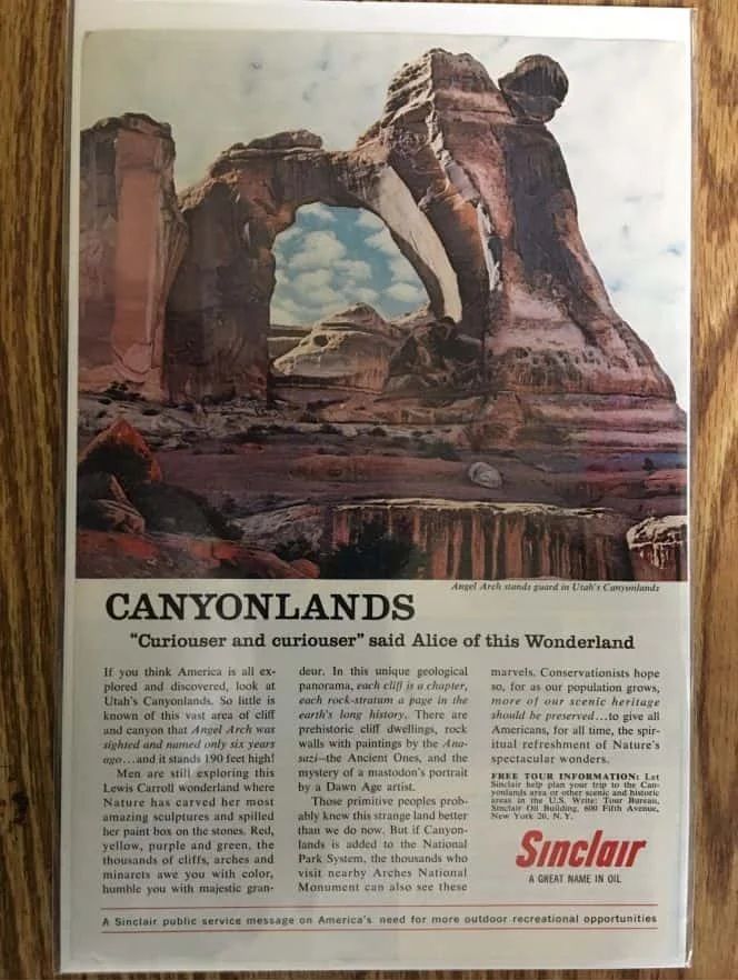
“for as our population grows, more of our scenic heritage should be preserved…to give all Americans, for all time, the spiritual refreshment of Nature’s Spectacular wonders.” With all that is happening today it was refreshing to see an ad put out in support of protecting our natural resources by an oil company. The ad from 50 years ago seems so relevant. It would be great to see something like this today for Bears Ears, Greater Canyonlands, or Greater Grand Canyon.
January 14, 2026
Larry Stevens Grand Canyon River Guide. A great resource for everything about the Colorado River.
November 17, 2023
Whether they are conquerin g roaring rapids or peacefully floating down a gentle river, rafting lovers are a unique breed of adventurers who thrive on the thrill of the water. If you’re searching for the perfect gift for the paddler in your life, look no further. We’ve curated an ultimate gift guide for rafting enthusiasts that will definitely make a splash, whether they’re seasoned experts or just dipping their toes into the world of river exploration. Dry Bags and Waterproof Cases Protecting personal belongings from water is crucial during rafting trips. Gift them a set of high-quality dry bags or waterproof cases to keep essentials like phones, wallets, and keys safe and dry. Brands like NRS, Jack’s Plastic Welding, and Sea to Summit offer reliable options. www.nrs.com www.jpwinc.com www.seatosummit.com Rafting Apparel Help them stay comfortable and stylish on the water with specialized rafting apparel. Consider quick-drying, moisture-wicking clothing, UV-protective rash guards, and water shoes with excellent grip. Look for brands like NRS, Patagonia, and Chaco for reliable and fashionable options. www.nrs.com www.patagonia.com www.chacos.com
January 19, 2022
A detailed guide on how to become a professional river guide, covering training, responsibilities, lifestyle, and what it takes to guide multi-day rafting trips.
December 15, 2019
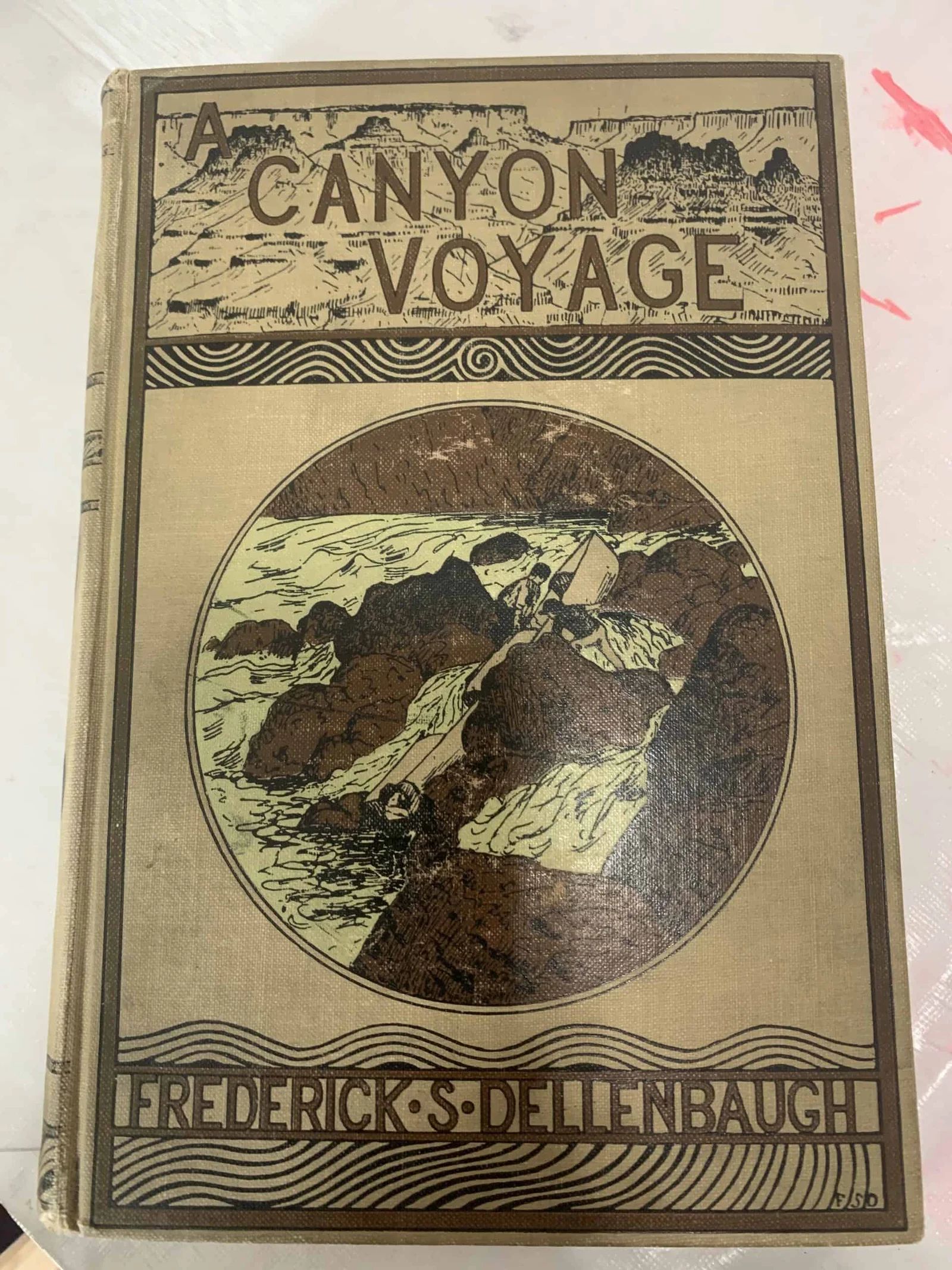
Learn how Kanab, Utah served as John Wesley Powell’s base of operations while mapping the Grand Canyon and leading historic Colorado River expeditions.

January 17, 2018
A look at what rafting guides do in the offseason, from boat and engine maintenance to office work, training, travel, and prep for the next river season.
November 27, 2017
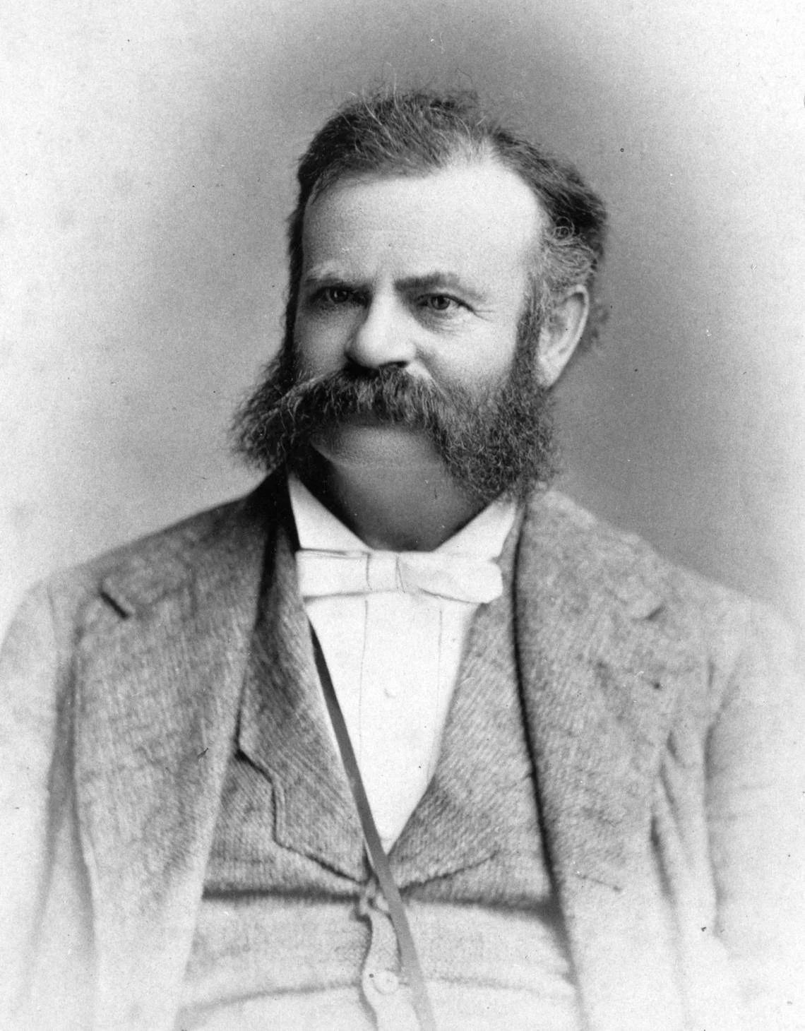
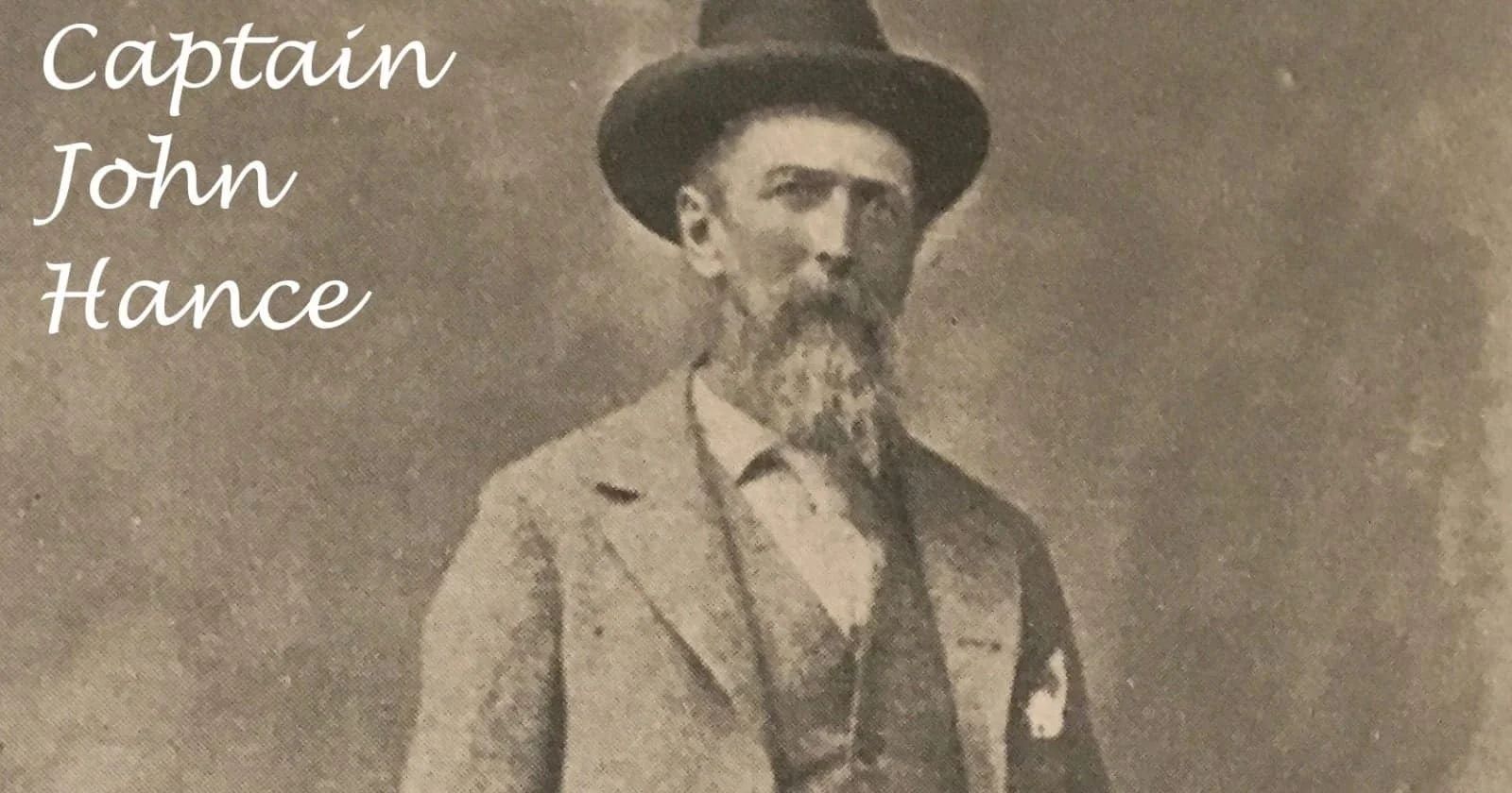
Historic impressions of the Grand Canyon from Captain John Hance’s 1890s guest book, revealing early visitor awe, storytelling, and river-running history.
January 14, 2026
A beginner-friendly paddling infographic explains river raft techniques, teamwork basics, stroke effects, and step-by-step guidance for whitewater rafting.
January 14, 2026
Learn the basics of rafting with our Paddling Strokes for Beginners infographic, covering essential paddle strokes, techniques, and how each stroke affects the raft.